Flora of the Turnbull National Wildlife Refuge |
| Luzula comosa |
|
|
||
| var. laxa | Buchenau | Juncaceae; Native |
| SYNONYMS |
None
|
Unless otherwise noted the images are those of ©Robert L. Carr . Click on any image to load an enlargement.
| Back to Main Page | Family Index | Genus Index |
| 13 mi W of Kettle Falls, WA along Sherman Creek; N 48.57757 W 118.29358; Ferry Co.; 7/16/2012 | 13 mi W of Kettle Falls, WA along Sherman Creek; N 48.57757 W 118.29358; Ferry Co.; 7/16/2012 | ||
|
|
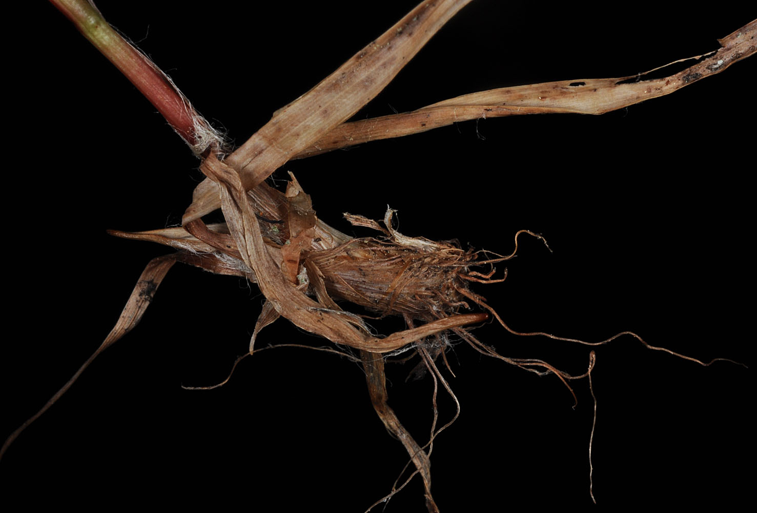
| 13 mi W of Kettle Falls, WA along Sherman Creek; N 48.57757 W 118.29358; Ferry Co.; 7/16/2012 | 13 mi W of Kettle Falls, WA along Sherman Creek; N 48.57757 W 118.29358; Ferry Co.; 7/16/2012 | 13 mi W of Kettle Falls, WA along Sherman Creek; N 48.57757 W 118.29358; Ferry Co.; 7/16/2012 | 13 mi W of Kettle Falls, WA along Sherman Creek; N 48.57757 W 118.29358; Ferry Co.; 7/16/2012 |
 |
 |
 |
 |
| 13 mi W of Kettle Falls, WA along Sherman Creek; N 48.57757 W 118.29358; Ferry Co.; 7/16/2012 | 13 mi W of Kettle Falls, WA along Sherman Creek; N 48.57757 W 118.29358; Ferry Co.; 7/16/2012 | 13 mi W of Kettle Falls, WA along Sherman Creek; N 48.57757 W 118.29358; Ferry Co.; 7/16/2012 | |
 |
 |
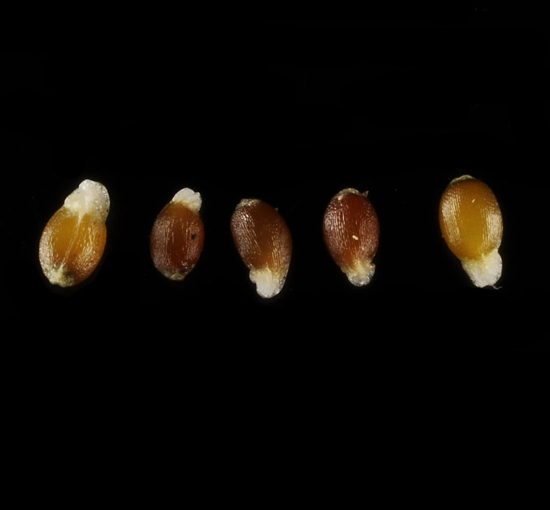 |
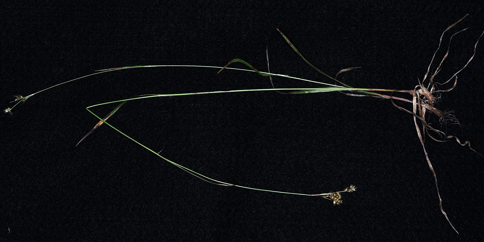
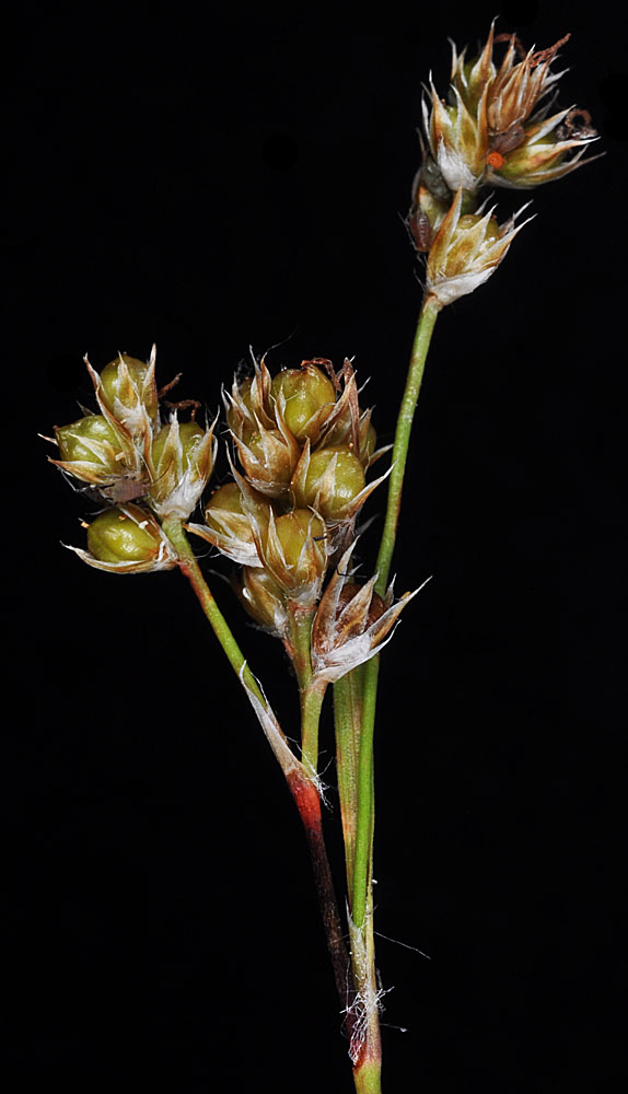
| Along Big Creek rd ca. 200 yds N of its jct with Old River rd, ca. 3.3 air mi NE of Harvard, ID; N 46.95470 W 116.68575; Latah Co.; 6/1/2014 | Along Big Creek rd ca. 200 yds N of its jct with Old River rd, ca. 3.3 air mi NE of Harvard, ID; N 46.95470 W 116.68575; Latah Co.; 6/1/2014 | Along Big Creek rd ca. 200 yds N of its jct with Old River rd, ca. 3.3 air mi NE of Harvard, ID; N 46.95470 W 116.68575; Latah Co.; 6/1/2014 | Along Sherman Creek ca. 13 mi W of Kettle Falls, WA (along Hwy 20); N 48.57745 W 118.28328; Ferry Co.; 5/31/2015 | ||
 |
 |
 |
 |
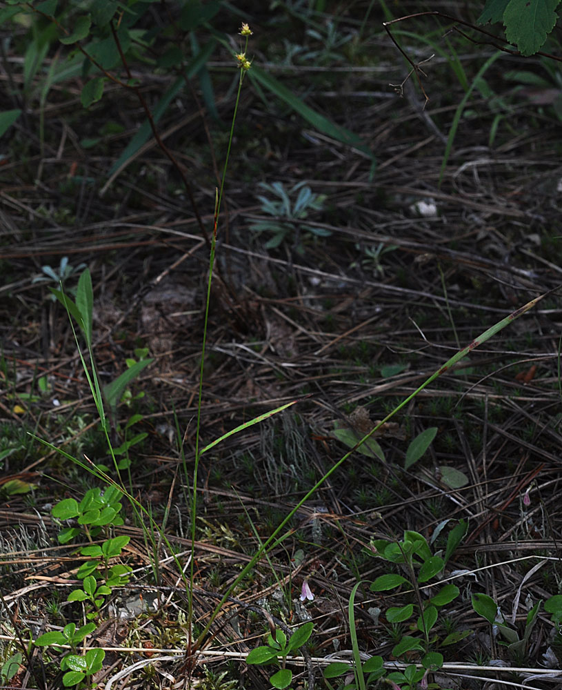
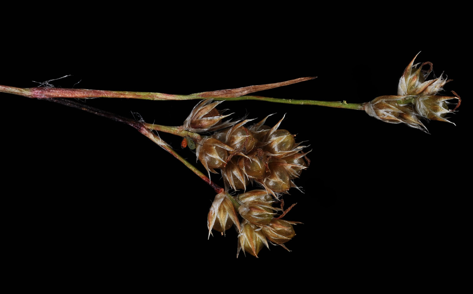
| Along Sherman Creek ca. 13 mi W of Kettle Falls, WA (along Hwy 20); N 48.57745 W 118.28328; Ferry Co.; 5/31/2015 | Along Sherman Creek ca. 13 mi W of Kettle Falls, WA (along Hwy 20); N 48.57745 W 118.28328; Ferry Co.; 5/31/2015 | Along Sherman Creek ca. 13 mi W of Kettle Falls, WA (along Hwy 20); N 48.57745 W 118.28328; Ferry Co.; 5/31/2015 | Along Sherman Creek ca. 13 mi W of Kettle Falls, WA (along Hwy 20); N 48.57745 W 118.28328; Ferry Co.; 5/31/2015 | ||
 |
 |
 |
 |
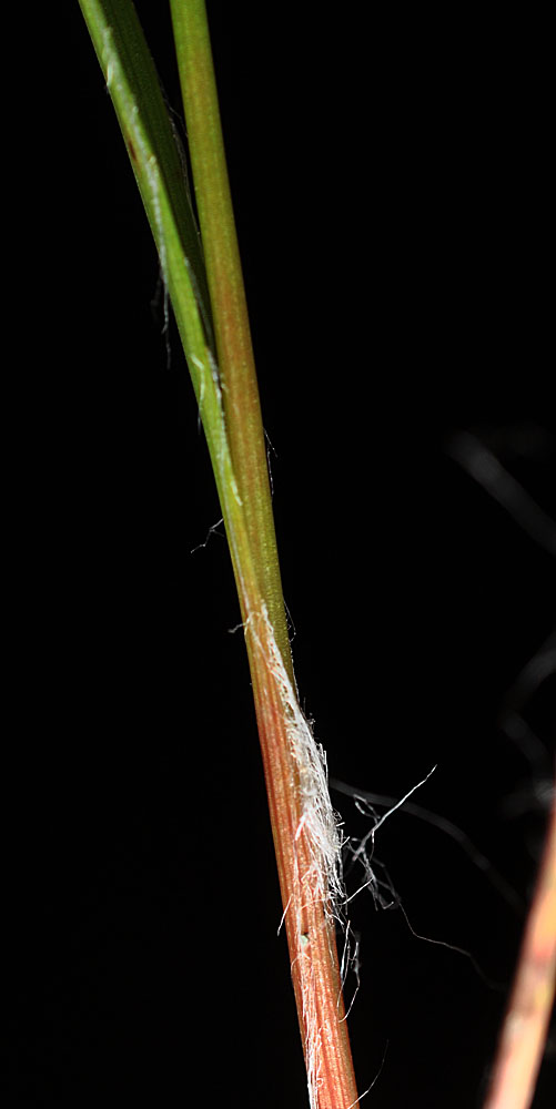
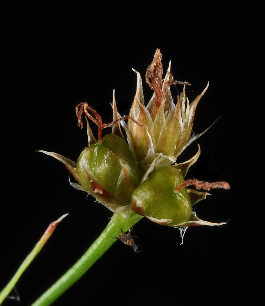
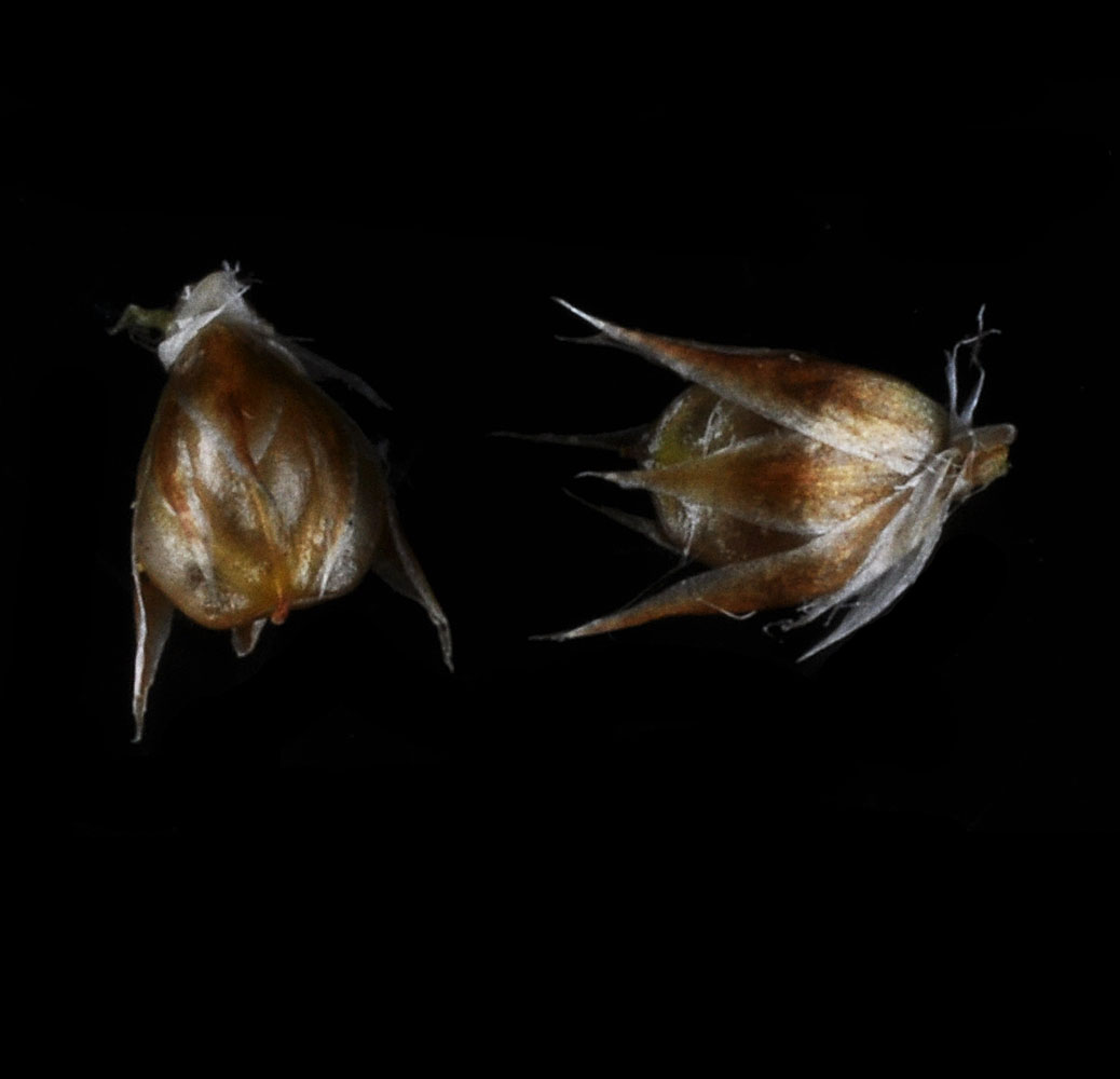
| Along spur rd off of Graves Mt Rd ca. 1.36 air mi W of Graves Mt. peak; N 48.63521 W 118.38907; Ferry Co.; 6/25/2018 | Along spur rd off of Graves Mt Rd ca. 1.36 air mi W of Graves Mt. peak; N 48.63521 W 118.38907; Ferry Co.; 6/25/2018 | Along spur rd off of Graves Mt Rd ca. 1.36 air mi W of Graves Mt. peak; N 48.63521 W 118.38907; Ferry Co.; 6/25/2018 | Along spur rd off of Graves Mt Rd ca. 1.36 air mi W of Graves Mt. peak; N 48.63521 W 118.38907; Ferry Co.; 6/25/2018 | ||
 |
 |
 |
 |


